Thursday, May 16, 2013

WOW-We found it!


 96929 feet! 


 Balloon burst!

 Yes! Grow up and be a scientist!


Can you identify these places?


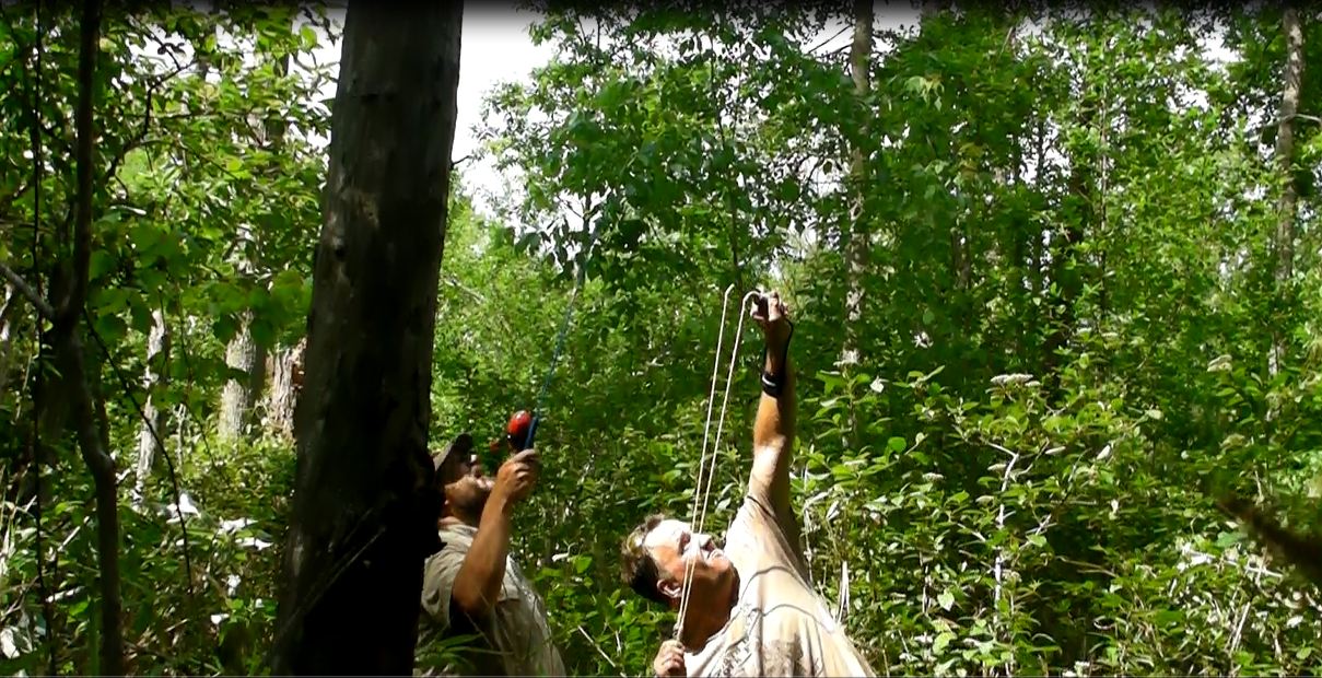
Using a slingshot to launch a fishing line up. Try hitting a 3 foot triangle that's 50 feet above your head! Mr. Alston did it, many times.

Mr. Sugi is very happy/relieved.

This is the swamp. Yes, it was wet.

Camera 2 fogged up. This is the burst.

 Parachute failure= 97,000 ft free fall. Notice inversion.

Nice view!


Wednesday, May 15, 2013

We have a plan!

We will be heading back tomorrow with proper equipment and better maps! It looks like we can approach the site from the south (with property owner's permission) and make a recovery.

Tuesday, May 14, 2013

The setting sun and turkey guns...

Our launch was a great success. Here's a link to the Athens Banner Herald coverage. After a long drive (Sparta, GA) and trek though the woods, we happened upon a really dense swamp. Of course this was right where the rig was supposed to be according to our GPS coordinates. After slogging around for a bit, we made the call to head back to the chase vehicles. The sun was starting to go down and it's still turkey hunting season until tomorrow. 2 great reasons to call it a day. We know it's not going anywhere and all the equipment is water proof. The plan is to regroup and get the right equipment together to make another attempt at recovery very soon. Stay tuned!

All systems are go!

T-minus 2 hours. Double checking everything.

Monday, May 13, 2013

Tuesday, MAY 14th @ 1:00 - The Launch is ON!

We will be launching from campus @ 1:00-1:15. If you are visiting the campus, please check in with the front office first. The weather looks great!

Here's a link to our live tracker feed: http://bit.ly/YFGKbq

This map should update about every 10 minutes after launch. Once the SPOT GPS gets above 21,000ft (maybe more if we get lucky), it will not transmit again until it's headed back down. It will continue to transmit for 24 hours-hopefully we will find it waaaay before then!